| ©The Archaeological Settlements of Turkey - TAY Project | ||||||
|
|
||||||
 |
Gri Havsarik |
|||||
|
|
||||||
| Ages | Maps | Photos | ||||
| Neolithic |
 |
 |
||||
|
|
||||||
|
Type:
|
Mound | |||||
|
Altitude:
|
870 m | |||||
|
Diameter:
|
m- Direction: | |||||
|
|
||||||
|
Region:
|
Southeastern Anatolia | |||||
|
Province:
|
Diyarbakir | |||||
|
District:
|
Ergani | |||||
|
Village:
|
Salihli | |||||
|
|
||||||
|
Destruction :
|
Agriculture | |||||
|
|
||||||
|
TAYEx:
|
Visited - 6/9/2001 | |||||
|
|
||||||
|
Registration State:
|
For detailed registration information please refer to Turkish pages. | |||||
  |
||||||
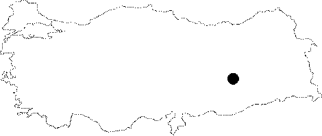
| Location: This site lies northwest of the city of Diyarbakir; southwest of the town of Ergani; north of the Ergani-Çermik highway and south of Salihli. |
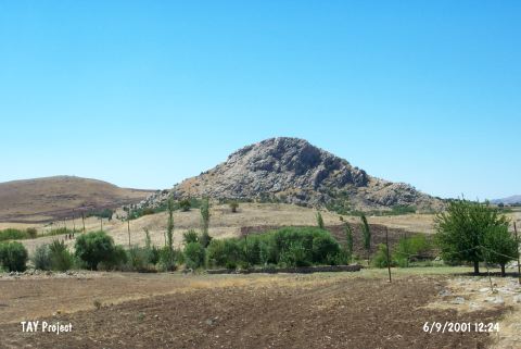
| Geography and Environment: The site lies in the mountainous region; north of the Ergani Plain; on a natural hill in the middle of a narrow valley. Kelüsük Mountain is northwest of the mound. |
| Destruction Details: Agricultural activities are being done on skirts of the mound [TAYEx 6.9.2001]. |

