|
©The Archaeological Settlements of Turkey - TAY Project
|
|
|
|
|
|
Gri Havsarik |
|
|
For site maps and drawings please click on the picture... 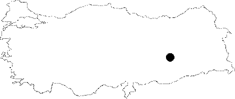 |
For photographs please click on the photo... 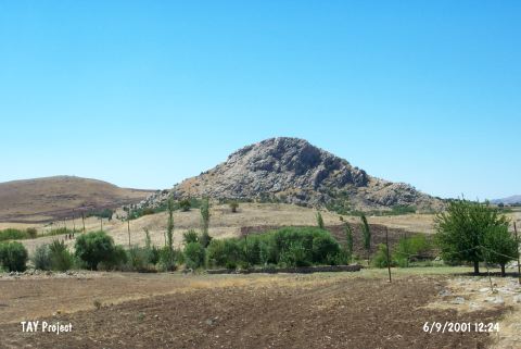 |
|
Type:
|
Mound |
|
Altitude:
|
870 m |
|
Region:
|
Southeastern Anatolia |
|
Province:
|
Diyarbakir |
|
District:
|
Ergani |
|
Village:
|
Salihli |
|
Investigation Method:
|
Survey |
|
Period:
|
Aceramic |
|
|
|
  |
|
| Location: This site lies northwest of the city of Diyarbakir; southwest of the town of Ergani; north of the Ergani-Çermik highway and south of Salihli. |
| Geography and Environment: The site lies in the mountainous region; north of the Ergani Plain; on a natural hill in the middle of a narrow valley. Kelüsük Mountain is northwest of the mound. |
| History: |
| Research and Excavation: The site was discovered in 1988 by a survey team lead by M. Özdogan. |
| Stratigraphy: The fact that there are later ceramics on the surface of the mound suggests that the site is composed of several occupational phases from different periods. The stratigraphy; however; cannot be determined until the site is excavated. |
| Small Finds: Chipped Stone: M. Özdogan notes that 90% of the Aceramic Neolithic finds at the site of Gri Havsarik are obsidian. Most of the finds are comprised of small blades and bladelets. One of the typical tools of the Çayönü horizon style; steeply retouched thick and long blades; were also found [Özdogan 1990b:462]. |
| Remains: |
| Interpretation and Dating: It is thought that the site is contemporaneous with the Aceramic Neolithic site of Çayönü. |

