|
©The Archaeological Settlements of Turkey - TAY Project
|
|
|
|
|
|
Aracaklar / Ariçiklar |
|
|
For site maps and drawings please click on the picture...  |
For photographs please click on the photo... 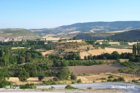 |
|
Type:
|
Mound |
|
Altitude:
|
677 m |
|
Region:
|
Marmara |
|
Province:
|
Bilecik |
|
District:
|
Gölpazari |
|
Village:
|
Aricaklar |
|
Investigation Method:
|
Survey |
|
Period:
|
|
|
|
|
 |
|
| It lies to the immediate left of the road deviating to the Ariçiklar Village, 4 km east of Gölpazari. It is the largest mound of the region, measuring 235 m in diameter and 21.5 m in height. T. Efe who conducted a survey in 1990 in the region reported presence of intense material from the Classical Period on the surface. Only a few pieces which may have been dated to the Early Bronze Age were recovered during the survey. The mound was introduced as "Aracaklar" by K. Kökten. Another hill referred with the same name by Burney is known near Kursunlu. Efe reported that no archaeological material was found on the hill. It was also investigated during the survey conducted by M. Özdogan in 1992. |
| Location: |
| Geography and Environment: |
| History: |
| Research and Excavation: |
| Stratigraphy: |
| Small Finds: |
| Remains: |
| Interpretation and Dating: |