|
©The Archaeological Settlements of Turkey - TAY Project
|
|
|
|
|
|
Direkli Magarasi |
|
|
For site maps and drawings please click on the picture... 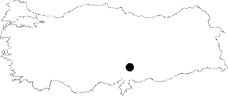 |
For photographs please click on the photo... 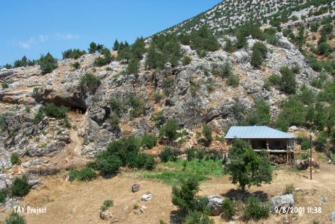 |
|
Type:
|
Cave |
|
Altitude:
|
1130 m |
|
Region:
|
Mediterranean |
|
Province:
|
Kahramanmaras |
|
District:
|
Merkez |
|
Village:
|
Döngel |
|
Investigation Method:
|
Excavation |
|
Period:
|
EBA II |
|
|
|
 |
|
| It is located east of Döngel Village; about 38 km northwest of Kahramanmaras Province. The cave called Direkli is closer to the former Döngel Quarter. The highway running from Kayseri to Kahramanmaras passes through the west of the cave. A sounding trench opened on a nearer point to the entrance in 1958 by K.Kökten yielded sherds in 1 m depth. For Kökten; some of those sherds dates from the Copper Age (EBA II). No further information is provided about the finds. |
| Location: This cave-site lies east of the former settlement of Döngel Village and west of the new one which is 38 km; as the crow flies; northwest of the city of Kahramanmaras. |
| Geography and Environment: The presence of many caves in the vicinity suggests that it is a karstic region (for more information on the caves in this area; see the site of Yaglik in this volume). Direkli Cave faces south and Tekir Stream flows west of the cave. There must be nearby springs. |
| History: |
| Research and Excavation: |
| Stratigraphy: |
| Small Finds: |
| Remains: |
| Interpretation and Dating: |