|
©The Archaeological Settlements of Turkey - TAY Project
|
|
|
|
|
|
Dere Mahallesi Yerlesimi ve Mezarligi |
|
|
For site maps and drawings please click on the picture... 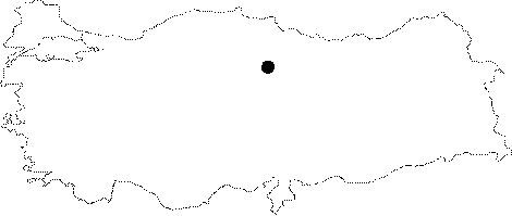 |
For photographs please click on the photo... 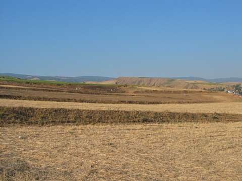 |
|
Type:
|
Flat Settlement and Cemetery |
|
Altitude:
|
350 m |
|
Region:
|
Black Sea |
|
Province:
|
Tokat |
|
District:
|
Erbaa |
|
Village:
|
Merkez |
|
Investigation Method:
|
Excavation |
|
Period:
|
|
|
|
|
 |
|
| The mound lies north of Tokat; west-southwest of Erbaa. It was cited as "Horoztepe" in archaeological publications. The site was used as a graveyard of Dere quarter after the earthquake. Imbat stream passes near the site that sees Yesilirmak. Grave goods dating back to the EBA were found during a burial in 1956. Therefore; an excavation was conducted by T. Özgüc and M. Akok. Below the 1 m thick layer of EBA; there is another 1 m thick layer; which is thought to be dating back to the Chalcolithic Age. Late Chalcolithic Age fruit-stands and jars in Central Anatolia tradition were found. They are black and gray on the exterior; brown and red slipped on the interior. There is also a very little amount of incised decorated sherds. It takes place in the registered archaeological sites list prepared by Ministry of Culture and Tourism. |
| Location: The mound lies north of Tokat; west-southwest of Erbaa. |
| Geography and Environment: It was cited as "Horoztepe" in archaeological publications. The site was used as a graveyard of Dere quarter after the earthquake. Imbat stream passes near the site that sees Yesilirmak. |
| History: |
| Research and Excavation: |
| Stratigraphy: |
| Small Finds: |
| Remains: |
| Interpretation and Dating: |