|
©The Archaeological Settlements of Turkey - TAY Project
|
|
|
|
|
|
Akçay 1 |
|
|
For site maps and drawings please click on the picture... 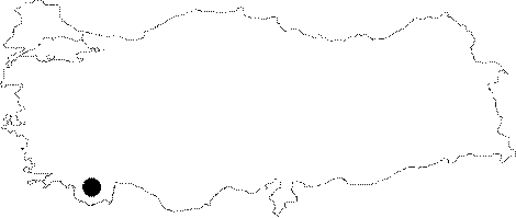 |
For photographs please click on the photo... 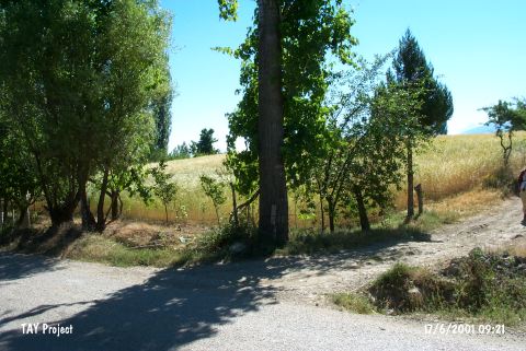 |
|
Type:
|
Mound |
|
Altitude:
|
1100 m |
|
Region:
|
Mediterranean |
|
Province:
|
Antalya |
|
District:
|
Elmali |
|
Village:
|
Akçay |
|
Investigation Method:
|
Survey |
|
Period:
|
EBA II |
|
|
|
 |
|
| It lies 1 km southeast of Akçay Town; on the southern end of the Elmali Plain; southwest of Elmali; southwest of Antalya Province. It was discovered by J. Mellaart. Pottery of the EBA II was collected from the surface. It takes place in the registered archaeological sites list prepared by Ministry of Culture and Tourism. |
| Location: This site lies 25 km northwest of the city of Antalya; 23-25 km southwest of the town of Elmali and 1 km southeast of the village of Akçay. |
| Geography and Environment: The diameter of the Akçay I mound; which lies on the Elmali Plain; is 125 m. It is reported that the mound is flat but its height has not been given. The surface has been leveled by continuous plowing. A stream flows east and north of the mound. The name Akçay I was given by the researchers. |
| History: |
| Research and Excavation: |
| Stratigraphy: |
| Small Finds: |
| Remains: |
| Interpretation and Dating: |