|
©The Archaeological Settlements of Turkey - TAY Project
|
|
|
|
|
|
Akçahöyük / Yeniköy |
|
|
For site maps and drawings please click on the picture... 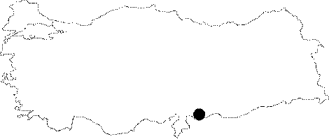 |
For photographs please click on the photo...  |
|
Type:
|
Single Findspot |
|
Altitude:
|
m |
|
Region:
|
Southeastern Anatolia |
|
Province:
|
Gaziantep |
|
District:
|
Oguzeli |
|
Village:
|
Yeniköy |
|
Investigation Method:
|
Survey |
|
Period:
|
OP |
|
|
|
 |
|
| Location: This site is located approximately 28 km southeast of the city of Gaziantep. It lies south of the town of Akçakoyunlu; near the village of Akçahöyük/Yeniköy and east of the Secir (Sacir) Stream. |
| Geography and Environment: The village of Oguzeli; formerly called Tilbasar lies on flat plain which is nourished by the Sacir Stream. Since the exact location of the site is unclear; a more detailed description of the setting cannot be provided. |
| History: |
| Research and Excavation: In 1950; Refakat Çiner discovered this site during the survey she conducted in the southern Gaziantep region around the village of Akçahöyük/Yeniköy. Although she reports that he found several pebble tools; further information on these artifacts has not been provided. In 2013, Directorate of Gaziantep Museum conducted salvage excavations at the site. It takes place in the registered archaeological sites list prepared by Ministry of Culture and Tourism. |
| Stratigraphy: |
| Small Finds: Çiner reports that the survey yielded two Levalloiso-Moustérien tools. Unfortunately we lack photos and further descriptive information on these tools. |
| Remains: |
| Interpretation and Dating: |