|
©The Archaeological Settlements of Turkey - TAY Project
|
|
|
|
|
|
Çola Avika |
|
|
For site maps and drawings please click on the picture... 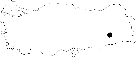 |
For photographs please click on the photo...  |
|
Type:
|
Mound |
|
Altitude:
|
700 m |
|
Region:
|
Southeastern Anatolia |
|
Province:
|
Batman |
|
District:
|
Kozluk |
|
Village:
|
|
|
Investigation Method:
|
Survey |
|
Period:
|
Early |
|
|
|
 |
|
| Location: The site lies northeast of the city of Batman; west of Kozluk District; across Nevala Denik. |
| Geography and Environment: The broad and low mound is 1-2 m high; and measures 100 m in diameter; is located at the northern bank of Remdenka Stream. The site approximately covers an area of 0.75 hectares. |
| History: |
| Research and Excavation: The site was discovered during a survey; in the aim of finding historical places that were going to be inundated by Batman Dam; conducted by M. Rosenberg and H. Togul in 1990. The dam reservoir built on Batman Stream; also covers of Remdenka; Hiyan; and Sason Streams. The research was conducted for the University of Pennsylvania and ODTÜ-TEKDAM. 27 sites are reported to be inundated by the dam. It is observed that Chalcolithic settlements are not abundant. |
| Stratigraphy: The site is thought to be consisting of one level; because there were no finds dating to other periods. |
| Small Finds: Pottery: Cooking pots are also observed as well as the typical Halafian painted sherds. Coarse sand-tempered ware is observed to be a local ware. There are bowls with flat bases; and crème slipped bowls. |
| Remains: |
| Interpretation and Dating: The site is one of the Halafian settlements in the region. |