|
©The Archaeological Settlements of Turkey - TAY Project
|
|
|
|
|
|
Mallos |
|
|
For site maps and drawings please click on the picture... 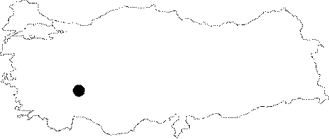 |
For photographs please click on the photo...  |
|
Type:
|
City |
|
Altitude:
|
m |
|
Region:
|
Mediterranean |
|
Province:
|
Isparta |
|
District:
|
Egirdir |
|
Village:
|
Sariidris |
|
Investigation Method:
|
Survey |
|
Period:
|
Roman |
|
|
|
 |
|
| Location: It is located at the Goynucek Mevkii; 3 km northeast of the Sariidris Town of the Egirdir District; northeast of the Isparta Province. |
| Geography and Environment: The ancient city of Mallos is situated on a hill in the highlands along the north - south direction for defensive purposes. It is surrounded by the Goynucek Upland to the east; the Ikiztepe and Erenler mountains to the southeast; the Sariidris Town and the Egirdir Lake to the southwest; and the Goynucek Brook to the north. |
| History: There are four ancient settlements called Mallos in Anatolia. One of them is located in Prymas of Cilicia; the second one to the north of Galatia Ankyra; and the third one in Synmada of Phyrigia Salutaria. The presence of this city; agreed to have been founded during the 1st century BC; is based on the Tekmorian inscriptions found in the Sagir Village of the Yalvac District. Mallos was founded on a hill lying in the north-south direction for defensive purposes. The records relating to Mallos are referred in the ancient resources [Hierocles 674; 3]. |
| Research and Excavation: The location of the city was identified by an inscription found by N. Mersich in Sariidris in 1984. The cleaning work was initiated by a team under the direction of D. Kaya on behalf of the Isparta Museum in 1997. It takes place in the registered archaeological sites list prepared by Ministry of Culture and Tourism. |
| Stratigraphy: |
| Small Finds: |
| Remains: City wall: There is a watch tower on the mid-part of the hill. The city wall enclosing the acropolis is from the Hellenistic and Roman Periods. They can be traced on the western slope. Cistern: A 3x3 m cistern carved into a rock was found at the end of the steps; which were also carved into the rock to allow access to the acropolis on the southeastern slope. Temple/Sanctuary: The Sanctuary of Kapilik Kaya on the Eleksi Hill to the north may have belonged to Mallos. Domestic Area: Some rectangular structures were found in the gaps between the city wall and the bedrock. Leaning upon the bedrock; they might have been built for residential purposes. Necropolis/Grave: It covers the tophill and slopes of the hill to the south of the city known as the Beleni Cemetery; and the rear slopes of the hill called Kocayatak Alani. Among the finds are fragments of tile-graves. The other necropolis area of the city is on the northeastern slope of the acropolis which extends to the Goynucek Brook. Some square planned graves with rough stones on three sides; and sometimes with cut stones on one side were found as well as fragments of sarcophagi from the 2nd century AD. |
| Interpretation and Dating: |