|
©The Archaeological Settlements of Turkey - TAY Project
|
|
|
|
|
|
Boran Tepesi |
|
|
For site maps and drawings please click on the picture...  |
For photographs please click on the photo... 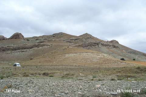 |
|
Type:
|
Upland Settlement |
|
Altitude:
|
1410 m |
|
Region:
|
Central Anatolia |
|
Province:
|
Sivas |
|
District:
|
Ulas |
|
Village:
|
Baharözü |
|
Investigation Method:
|
Survey |
|
Period:
|
|
|
|
|
 |
|
| It stands on a rocky hill; on the northern bank of the Irmak Stream in Yaglak Mevkii; 5 km west of Baharözü Village; southwest of Sivas Province. Pottery of the Chalcolithic Age; the EBA; the Iron Age and the Roman Period was recovered both on the top hill and the slopes. It was discovered during the 1997 Survey of Sivas conducted under T. Ökse. |
| Location: |
| Geography and Environment: |
| History: |
| Research and Excavation: |
| Stratigraphy: |
| Small Finds: |
| Remains: |
| Interpretation and Dating: |