|
©The Archaeological Settlements of Turkey - TAY Project
|
|
|
|
|
|
No Name (Aksehir / Karahöyük) |
|
|
For site maps and drawings please click on the picture...  |
For photographs please click on the photo... 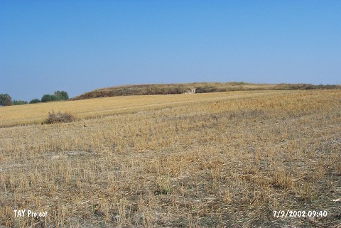 |
|
Type:
|
Mound |
|
Altitude:
|
1050 m |
|
Region:
|
Central Anatolia |
|
Province:
|
Konya |
|
District:
|
Aksehir |
|
Village:
|
Karahüyük |
|
Investigation Method:
|
Survey |
|
Period:
|
|
|
|
|
 |
|
| It lies approximately 2.4 km north of Karahöyük Town; east-southeast of Aksehir District of Konya Province. South of the mound Konya-Aksehir motorway passes. It has been observed and documented during TAYEx 2002 Central Anatolia region. It takes place in the registered archaeological sites list prepared by Ministry of Culture and Tourism. |
| Location: |
| Geography and Environment: |
| History: |
| Research and Excavation: |
| Stratigraphy: |
| Small Finds: |
| Remains: |
| Interpretation and Dating: |