|
©The Archaeological Settlements of Turkey - TAY Project
|
|
|
|
|
|
Bendersovti Sirt |
|
|
For site maps and drawings please click on the picture... 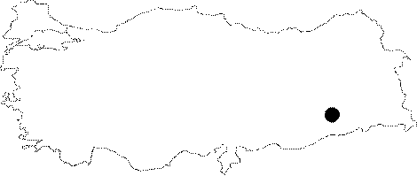 |
For photographs please click on the photo...  |
|
Type:
|
Habitation Site / Workshop |
|
Altitude:
|
m |
|
Region:
|
Southeastern Anatolia |
|
Province:
|
Batman |
|
District:
|
Merkez |
|
Village:
|
Asagi Zileki |
|
Investigation Method:
|
Survey |
|
Period:
|
OP |
|
|
|
 |
|
| Location: This site is 11 km southeast of the city of Batman; south of the village of Asagi Zilveki. It is not clear in which village this site lies. |
| Geography and Environment: This site is located west of Mount Raman; on a low terrace which overlooks the valley. The geomorphological setting of this widely scattered site is not described. |
| History: |
| Research and Excavation: Bendersovti; one of five Palaeolithic sites in the Mount Raman vicinity; probably served as a habitation site. The site was discovered during the survey of the Batman vicinity as part of the 1990 Tigris-Euphrates Archaeological Reconnaissance Project led by G. Algae; R. Breuninger; C. Lightfoot and M. Rosenberg. Survey of a 100 square meter area on the ridge yielded between 50 and 100 chipped stone tools and other fragments. The artifact density has not been provided. |
| Stratigraphy: |
| Small Finds: The artifacts collected from the Bendersovti Ridge were compared with the finds found from the sites in the developed regions in the area. Among the finds are Levallois cores; flakes; disk shaped cores; pyramidal cores; choppers and side scrapers. Relying on dominant types; these tools have been assigned to the Early Middle Palaeolithic. Collectively; the general types from this region have been named the Raman Industry. |
| Remains: |
| Interpretation and Dating: |