|
©The Archaeological Settlements of Turkey - TAY Project
|
|
|
|
|
|
Tilkitepe |
|
|
For site maps and drawings please click on the picture... 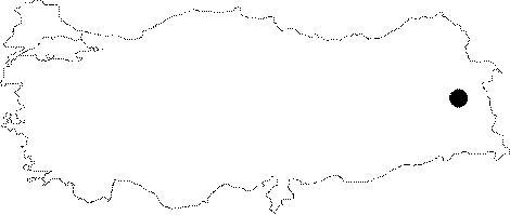 |
For photographs please click on the photo...  |
|
Type:
|
Mound |
|
Altitude:
|
1650 m |
|
Region:
|
Eastern Anatolia |
|
Province:
|
Van |
|
District:
|
Merkez |
|
Village:
|
Merkez |
|
Investigation Method:
|
Excavation |
|
Period:
|
EBA III EBA I |
|
|
|
 |
|
| Location: The site lies 7 km southwest of Van; 4 km south of Van Castle; on Samramalti Plain partially used as an airport in the present; approximately 1 km from Van Lake; inside the borders of Van Airport. |
| Geography and Environment: The 6-7 m high mound; measuring 55 m in diameter; is reported to be damaged by the earlier buildings of the airport. It is small; ovoid; and 9-10 m high above the level of the lake. The first settlers are thought to have inhabited the area just near the lake. A closely fresh water spring was most probably used as the water source. However; there no springs or creeks around the site. |
| History: |
| Research and Excavation: Tilkitepe is one of the first excavated mounds in Turkey. The site was excavated in three campaigns. The 6-10x25 m trench; in North-South direction; was dug during the excavations conducted by W. Belck in 1899 in relation with the expedition of Lehmann-Haupt. Belck thought that he was excavating a tumulus due to the recovery of many human skeletons. The second campaign of excavations were conducted by E.B. Reilly in 1937. The stratigraphy of the site was acquired in the trench near the center of the mound. Two years later; the 1939 excavation was conducted by C. Kinay under the leadership of K. Lake and S. Lake. 4 levels were revealed. The site; excavated a few times; aroused interest of many researchers; and espicially of A. Erzen; who studied Urartu Period around the region. Sherds in Halafian new painted ware were collected by Erzen [Erzen 1960:20]. Altough very little of the excavations was reported; M. Korfmann gathered many data about these researches and observed the finds again; thus enlightening the finds and the stand of the site for Anatolian prehistory [Korfmann 1982]. |
| Stratigraphy: The number of levels identified by Reilly as three was increased to four following the evaluations of the latest excavation results by M. Korfmann. Reilly and Korfmann date level I to the EBA. For comparative stratification of the mound; please see Harmankaya et al. 1998:Tilkitepe. |
| Small Finds: Architecture: Presence of circular houses is claimed in the level 1 [Korfmann 1982:227]. Probably; they are built of mudbrick on a stone socle. No detailed plan and information are provided about these buildings. Pottery: Level I dated to EBA yielded straw-tempered; burnished ware with a coarse paste; black-red-gray wash identified as Karaz/Early Transcaucasian/Kura-Aras ware as well as ware named as Tilkitepe ware by M. Korfmann. Tilkitepe ware is straw-tempered and decorated with painting of thick wavy bands [Korfmann 1982:175. fig.9]. Of these two groups of wares; the local ware of Tilkitepe is suggested to be introduced earlier. |
| Remains: |
| Interpretation and Dating: The excavation finds of Tilkitepe; even tough they are insufficient and incomplete; has a leading role in the archaeology of the Eastern Anatolia region for years. Level I starts at the end of the fourth millennium BC and continues in the third millennium BC according to the chronology table of the Van region [Korfmann 1982:table 2]. Level O is the transition period from the third to the second millennium BC. |