|
©The Archaeological Settlements of Turkey - TAY Project
|
|
|
|
|
|
Tell al Kanisah |
|
|
For site maps and drawings please click on the picture... 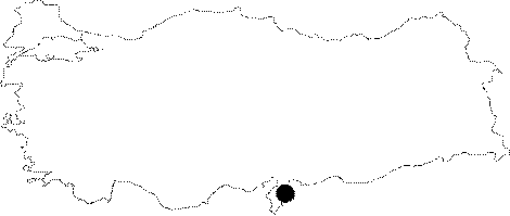 |
For photographs please click on the photo... 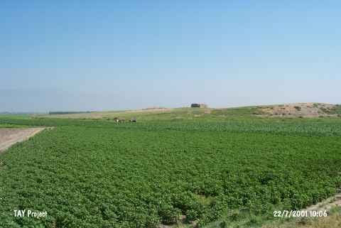 |
|
Type:
|
Mound |
|
Altitude:
|
150 m |
|
Region:
|
Mediterranean |
|
Province:
|
Hatay |
|
District:
|
Kirikhan |
|
Village:
|
Muratpasa |
|
Investigation Method:
|
Survey |
|
Period:
|
Ceramic |
|
|
|
 |
|
| Location: The site lies 3.5 km northwest of Muratpasa Village; 8 km southeast of Kirikhan District of Hatay Province. It is locally known as Kilisetepe/Esentepe. |
| Geography and Environment: The mound is fairly large and round and consists of two hills. The Muratpasa Water Canal passes very close to the mound. When the site was surveyed; the surrounding fields were not fertile. The other name of the mound is Tell Çolakköy; named after the closest village. |
| History: |
| Research and Excavation: The site was discovered in 1933 by R.J. Braidwood of the University of Chicago; Oriental Institute; during his survey in the Amuq Plain. |
| Stratigraphy: The material from the surface of the mound was dated to the Late Roman; Roman and Hellenistic Periods; possibly to the Middle Bronze Age as well as the Halaf and Late Neolithic Periods. This material was probably assigned after the ceramic-seriation exposed at the site of Tell el Cüdeyde/Judaidah. |
| Small Finds: Pottery: The collection conducted on the surface of the mound yielded ceramics which showed close affinity with the ceramics from Tell el Cüdeyde/Judaidah Layers XIV-XIII [Braidwood 1937:22]. |
| Remains: |
| Interpretation and Dating: Like several other mounds on the Amuq Plain; the Neolithic component of this site should be viewed with skepticism. The ceramics from the mound show Amuq A-E affinities. In ASPRO; the site has been placed into phases 5/6 [Hours et al. 1994:195]. |