|
©The Archaeological Settlements of Turkey - TAY Project
|
|
|
|
|
|
Sögüt Tarlasi 1 |
|
|
For site maps and drawings please click on the picture... 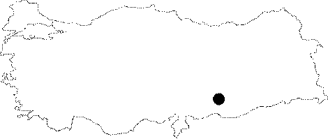 |
For photographs please click on the photo...  |
|
Type:
|
Habitation Site / Workshop |
|
Altitude:
|
580 m |
|
Region:
|
Southeastern Anatolia |
|
Province:
|
Sanliurfa |
|
District:
|
Bozova |
|
Village:
|
Merkez |
|
Investigation Method:
|
Excavation |
|
Period:
|
EP |
|
|
|
 |
|
| Location: The mound lies 35 km northwest of the centrum of Sanliurfa; 2 km southwest of Bozova District. |
| Geography and Environment: The 2-3 m high; small mound is estimated to cover an area of 50x90 m due to the distribution of the finds. The name Sögüt Tarlasi (willow field) is assigned to the site because of the field south of the willows beside the lake northwest of the mound. The region is covered with fertile fields and is rich in water sources. |
| History: |
| Research and Excavation: This site was jointly discovered by geologist Walter Higgins of Mobil Exploration International and a team of specialists under P. Benedict who were together working in the 1963 Southeast Anatolian Project; in collaboration with the University of Istanbul; Faculty of Letters; Prehistory Section and the University of Chicago; Oriental Institute. The excavation of the 5x5 m test trench which was taken to 2.5 m below the surface; was conducted by Bruce Howe in 1964. The site report has not yet been published. |
| Stratigraphy: |
| Small Finds: It is not certain whether the chipped stone implements found between 1 and 1.5 m below the surface are Palaeolithic. The artifact assemblages from this site included many examples of blade technology. Blade tools are common. The site is tentatively assigned to a transitional period between the end of the Upper Palaeolithic Period and the beginning of the Epipalaeolithic; sometime between 10;000 and 8;000 BC [Hours et al. 1994:323]. |
| Remains: |
| Interpretation and Dating: |