|
©The Archaeological Settlements of Turkey - TAY Project
|
|
|
|
|
|
Aracaklar / Ariçiklar |
|
|
For site maps and drawings please click on the picture...  |
For photographs please click on the photo... 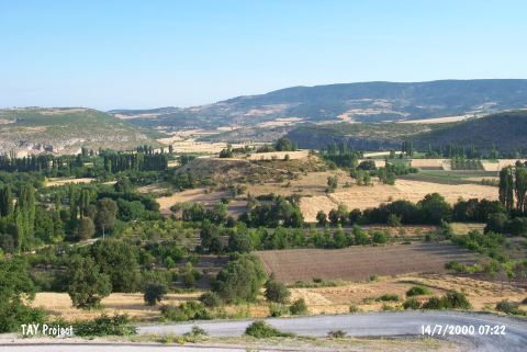 |
|
Type:
|
Mound |
|
Altitude:
|
677 m |
|
Region:
|
Marmara |
|
Province:
|
Bilecik |
|
District:
|
Gölpazari |
|
Village:
|
Aricaklar |
|
Investigation Method:
|
Survey |
|
Period:
|
|
|
|
|
 |
|
| It lies on the exit to Aricaklar from the motorway; 4 km east of Gölpazari District; Bilecik Province. It is a large mound. It measures 21;5 m in height and ca. 235 m in diameter. It was discovered by K. Kökten in 1948. Materials dating from the EBA and the Classical Period were collected from the surface. During a survey conducted by T. Efe in the region in 1990; it is reported that there is a plenty of pottery belonging to the Classical Age. Only a limited number of sherds dating from the EBA was collected from the surface. |
| Location: |
| Geography and Environment: |
| History: |
| Research and Excavation: |
| Stratigraphy: |
| Small Finds: |
| Remains: |
| Interpretation and Dating: |