|
©The Archaeological Settlements of Turkey - TAY Project
|
|
|
|
|
|
Keçili |
|
|
For site maps and drawings please click on the picture... 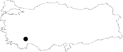 |
For photographs please click on the photo... 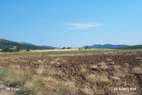 |
|
Type:
|
Mound |
|
Altitude:
|
810 m |
|
Region:
|
Mediterranean |
|
Province:
|
Burdur |
|
District:
|
Bucak |
|
Village:
|
Keçili |
|
Investigation Method:
|
Survey |
|
Period:
|
Ceramic |
|
|
|
 |
|
| Location: This site lies south of the city of Burdur; southeast of the town of Bucak; in the northern part of the narrow valley between Lake Anbahan and Lake Kestel. It lies in Helvacitepesi Mevkii; 1.5 km south of the village of Keçili. |
| Geography and Environment: The mound lies between the two lakes; in the northern part of the Kilde Valley; on Mount Helvacitepesi; a northwestern extension of Mount Karagan/Kiragan. The site was named Keçili by Özsait; who discovered it; because Keçili is the closest village to the site. The extent of the scatter of ceramics and other finds has not been given because the site lies on a natural ridge. The mound is currently cultivated. |
| History: |
| Research and Excavation: The site was discovered in 1984 by the Burdur-Isparta Region survey team led by M. Özsait. Özsait and his team surveyed both sides of Kilde Stream. |
| Stratigraphy: The surface of the mound yielded only Late Neolithic finds. Özsait concludes that the site must have been abandoned after this stage [Özsait 1986b:395]. From the photographs published along with the survey report; it is clear that flint blades were found at the site. |
| Small Finds: No information has been provided on the finds from this site. The finds resemble the Late Neolithic finds of the Lakes Region (Göller Bölgesi). The ceramic vessels from Keçili include high bowls while cores and blades can be listed among the chipped stone tool types found at this site. |
| Remains: |
| Interpretation and Dating: Özsait believes this site dates to the Late Neolithic-Early Chalcolithic and compares it with the site of Gölde. |