|
©The Archaeological Settlements of Turkey - TAY Project
|
|
|
|
|
|
Kabarsa |
|
|
For site maps and drawings please click on the picture... 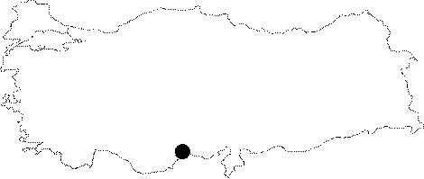 |
For photographs please click on the photo... 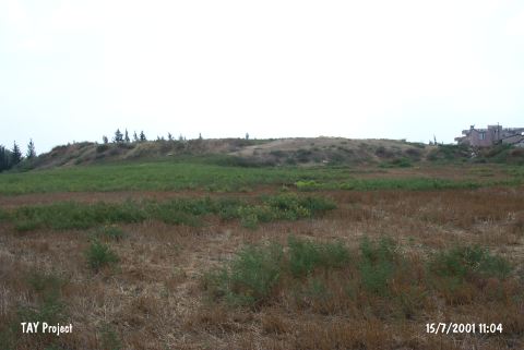 |
|
Type:
|
Mound |
|
Altitude:
|
130 m |
|
Region:
|
Mediterranean |
|
Province:
|
Mersin |
|
District:
|
Tarsus |
|
Village:
|
Mahmutaga |
|
Investigation Method:
|
Excavation |
|
Period:
|
|
|
|
|
 |
|
| This site lies in Mahmutaga Village; south of the Tarsus-Adana highway; 7 km east of the town of Tarsus; northeast of the city of Mersin. The Tarsus-Amerikan Survey Team carried out a small excavation on the mound. It is some 10-12 m high. During the Cilicia Survey conducted under M.V. Seton-Williams in 1951; sherds dating in a range from the EBA to the Roman Period were collected from the surface. Red-black burnished ware and metallic ware of EBA were recovered [Mellaart 1963:212]. It takes place in the registered archaeological sites list prepared by Ministry of Culture and Tourism. |
| Location: This site lies in Mahmutaga Village; south of the Tarsus-Adana highway; 7 km east of the town of Tarsus; northeast of the city of Mersin. |
| Geography and Environment: The mound is 10-12 m high. |
| History: |
| Research and Excavation: |
| Stratigraphy: |
| Small Finds: |
| Remains: |
| Interpretation and Dating: |