|
©The Archaeological Settlements of Turkey - TAY Project
|
|
|
|
|
|
Ispendere |
|
|
For site maps and drawings please click on the picture...  |
For photographs please click on the photo... 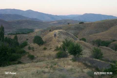 |
|
Type:
|
Mound |
|
Altitude:
|
810 m |
|
Region:
|
Eastern Anatolia |
|
Province:
|
Malatya |
|
District:
|
Merkez |
|
Village:
|
Bulutlu |
|
Investigation Method:
|
Survey |
|
Period:
|
|
|
|
|
 |
|
| It lies on a natural hill at Ispendere Mevkii; 800 m south-southwest of Bulutlu (Aşağıispendere) Village; east-southeast of Çolakli Sub-district of Malatya. North of the mound Içmeler Hotel stands. The hill is between two streams; Ispendere at north-northwest skirt; Haci Ali at south-southeast skirt. It was discovered by J. Yakar and dated to EBA. |
| Location: |
| Geography and Environment: |
| History: |
| Research and Excavation: |
| Stratigraphy: |
| Small Finds: |
| Remains: |
| Interpretation and Dating: |