|
©The Archaeological Settlements of Turkey - TAY Project
|
|
|
|
|
|
Seydiler |
|
|
For site maps and drawings please click on the picture... 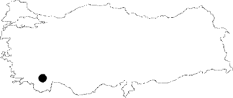 |
For photographs please click on the photo... 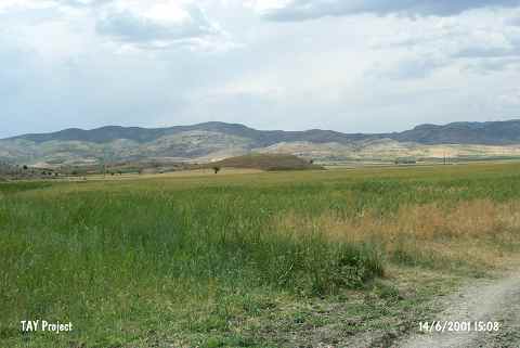 |
|
Type:
|
Mound |
|
Altitude:
|
1210 m |
|
Region:
|
Mediterranean |
|
Province:
|
Burdur |
|
District:
|
Tefenni |
|
Village:
|
Seydiler |
|
Investigation Method:
|
Survey |
|
Period:
|
|
|
|
|
 |
|
| It lies 1.6 km northwest of Seydiler Village; southeast of Tefenni District of Burdur Province. A dirt road passes 150 east of the mound. 100 m south lies the Bölükler Tepesi; 1193 m high where there is a well spring called Kocapinar on the northern foothill. It measures 10 m in height and 100x200 m in dimensions. It was first investigated by J. Mellaart and dated to the Late Chalcolithic Age. During the survey conducted by Dökü and his team, potsherds dated to LBA, IA and Roman Period were found [Dökü-Baytak 2017:648]. |
| Location: It lies 1.6 km northwest of Seydiler Village; southeast of Tefenni District of Burdur Province. A dirt road passes 150 east of the mound. In some publications; it is called Seydiler Höyük. |
| Geography and Environment: The mound lies in the southwestern corner of the Tefenni Plain; which was a swamp until recently. On the northern flanks of Mount Bölükler; only 100 m south of the site; is a spring known as Kocapinar. The inhabitants of this site must have used this spring as a water source. Özsait reports that this medium-sized mound is 10 m high and 120 m east-west. Especially the western and northern flanks of the mountain have faced damage. The sides of the mound are not very steep [Özsait 1986b:fig 7]. |
| History: |
| Research and Excavation: |
| Stratigraphy: |
| Small Finds: |
| Remains: |
| Interpretation and Dating: |