|
©The Archaeological Settlements of Turkey - TAY Project
|
|
|
|
|
|
Ilipinar |
|
|
For site maps and drawings please click on the picture...  |
For photographs please click on the photo... 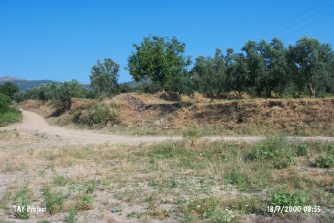 |
|
Type:
|
Mound |
|
Altitude:
|
112 m |
|
Region:
|
Marmara |
|
Province:
|
Bursa |
|
District:
|
Orhangazi |
|
Village:
|
Merkez |
|
Investigation Method:
|
Excavation |
|
Period:
|
EBA I |
|
|
|
 |
|
| It lies 1.5 km northwest of Ornek Village; 1.5-2 km south of Orhangazi; northeast of Bursa Province. It is about 2 km far from the lake. The site has been included in the cultural history of Anatolia with its occupations dating from the Neolithic and Chalcolithic Ages. The excavations carried out under J. Roodenberg between 1987-1995 yielded X levels. The level III is dated to the EBA. This level is represented by the ware identifed as Inegöl ware as well as the store houses and garbage pits where plenty of sherds can be found. It is stated that the houses on this level were damaged by the upper Middle Age settlement. Some metalic ware dating from the EBA brought in by the villagers without providing detailed information about the findspot expose the presence of an EBA settlement on the mound or the surrounding territory. The surveys carried out by K. Kökten; J. Mellaart; J. Cullberg and D.H. French indicate it as an EBA settlement. It takes place in the registered archaeological sites list prepared by Ministry of Culture and Tourism. |
| Location: The site lies northeast of Bursa; approximately 1.5 - 2 km south of Orhangazi District; 4 km northeast of Gedelek Village. |
| Geography and Environment: The approximately 5 m high; broad mound; covering an area of 2-2.5 hectares; is located approximately 1.5 km away from the western shore of Iznik Lake. There is a strong fresh water source near the mound. |
| History: |
| Research and Excavation: |
| Stratigraphy: |
| Small Finds: |
| Remains: |
| Interpretation and Dating: |