|
©The Archaeological Settlements of Turkey - TAY Project
|
|
|
|
|
|
Alabanda |
|
|
For site maps and drawings please click on the picture... 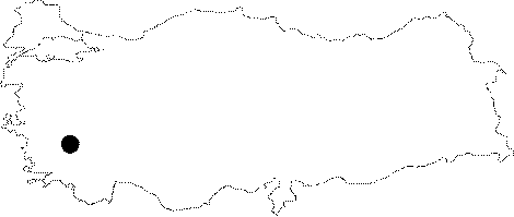 |
For photographs please click on the photo... 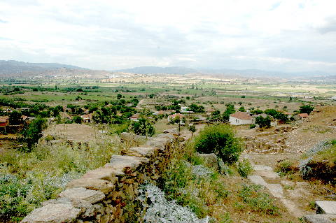 |
|
Type:
|
City |
|
Altitude:
|
m |
|
Region:
|
Aegean |
|
Province:
|
Aydin |
|
District:
|
Çine |
|
Village:
|
Doganyurt |
|
Investigation Method:
|
Excavation |
|
Period:
|
|
|
|
|
 |
|
| Location: It is located where the Doganyurt Village; formerly Araphisar; is situated; 7 km west of the Çine District of the Aydin Province [Tirpan 1990a:171]. |
| Geography and Environment: Strabo records that Alabanda was situated in the saddle of two elevations; resembling a donkey with panniers [Strabo 14; 2; 26]. The city was founded at the skirt of the hills extending to a plain. |
| History: |
| Research and Excavation: |
| Stratigraphy: |
| Small Finds: |
| Remains: |
| Interpretation and Dating: |