|
©The Archaeological Settlements of Turkey - TAY Project
|
|
|
|
|
Evcik Georgios Kilisesi |
|
|
|
|
|
For site maps and drawings please click on the picture... 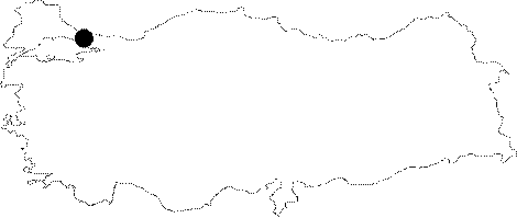 |
For photographs please click on the photo... 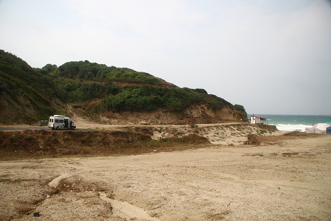 |
|
|
|
|
Type:
|
Church |
|
Plan Type:
|
Central Plan |
|
Year of Costruction:
|
9th - 10th c. |
|
Phase:
|
Middle |
|
Investigation Method:
|
|
|
Altitude:
|
30 |
|
|
|
|
Region:
|
Marmara |
|
Province:
|
Istanbul |
|
District:
|
Çatalca |
|
Village:
|
Evcik |
|
Antique Name:
|
|
|
|
|
 |
|
| Location: The Anastasian Wall comes to an end on the rocks of Evcik on the shores of the Black Sea. Immediate next to the wall rises a church on a champaign field [Crow-Ricci 1997:243]. The church is situated northwest of Karacaköy, west of Çobankule Mevkii. It is at a dominant location above the Evcik Beach which is just east of the church. |
| Geography and Environment: A portion of the wall is observed which belongs to the Anastasius fortifications on the steep slope north of the church [TAYEx 11.08.2008]. |
| Research and Excavation: It was described by J. Crow and A. Ricci in 1994 during an excursion in the region, and later on systematically surveyed in detail in 1995 [Crow-Ricci 1997:243, footnote 56]. It was re-visited in 2001 in order to determine the damages caused by the treasure hunters [Crow et al. 2004:258]. |
| Description: Building Phases: The walls of the original construction period dating to the 9th or 10th century were erected with courses of rubble stones [Crow-Ricci 1997:243]. During the 11th century, a narthex was added with a more elaborate masonry. For the third building phase, blocks, probably removed from the Anastasian Wall, were reused [Crow-Ricci 1997:243-245]. Architectural Features: It is a small church with a central plan. It is surrounded by a series of buildings, which have not been identified yet. The triplet-window narthex of the church was built using the recessed brick technique. Also, presence of a cistern was identified under the narthex [Crow-Ricci 1997:243-245; Crow et al. 2004:258]. There is apparently a single entrance west of the church. The gate's width is 1.40 m. The upper part of the brick arch was demolished. Brick arch window openings are observed on the north and south façades of this west entrance. The north and south of the narthex make semicircular projections. Small rubble stones were used on the west façade, regular blocks of stones were used on the north façade [TAYEx 11.08.2008]. |
| Finds: In 2001, an inscribed block stone was found by A. Ricci. Originally belonging to the Anastasian Wall, it was most probably re-used during the construction of the church in the 10th century. The inscription in Greek indicates the restorations carried out on the Anastasian Wall during the reign of the Emperor Heraclius (610Ğ641) [Crow et al. 2004:258]. |
| Interpretation: |
| Destruction: The roof of the church was demolished during an excavation in 2006. Besides that the church contains deep illicit diggings inside. These excavations caused heavy destruction on some parts of the church walls [TAYEx 11.08.2008]. |