|
©The Archaeological Settlements of Turkey - TAY Project
|
|
|
|
|
 |
Çoban Kale |
|
|
|
|
For site maps and drawings please click on the picture... 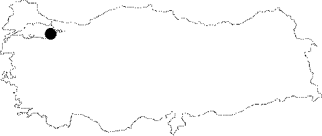 |
For photographs please click on the photo... 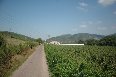 |
|
|
|
|
Type:
|
Fortification |
|
Plan Type:
|
Oval |
|
Year of Costruction:
|
|
|
Phase:
|
Middle |
|
Investigation Method:
|
Survey |
|
Altitude:
|
110 |
|
|
|
|
Region:
|
Marmara |
|
Province:
|
Yalova |
|
District:
|
Altinova |
|
Village:
|
Karadere |
|
Antique Name:
|
Kserigordion |
|
|
|
  |
|
| Location: It is located at where the coastal plain and the inland mountainous area are diverted around the valley of Yalakdere (former Drakon) in the Çobankale Quarter of the Karadere Village. According to C. Foss, Çobankale is the fort of Xerigordos referred in ancient sources [Foss 1996a:63-68]. Based on these sources, the fort was located on the road running from Helenopolis (Hersek) to Nicea (Iznik) [Lefort 2003:469-470]. The Karadere Village is 1.5 km to the southwest, there is a quarry just northwest of the fortress. It is situated to the south of the road from Altınova to the villages. |
| Geography and Environment: It is located on a hill, approximately 70 m higher from the road overlooking the spot where the two arms of the river join. |
| Research and Excavation: It was first referred by Evliya Çelebi [Evliya Çelebi 1985:II, 756]. And he was followed by many travelers who saw the fort and mentioned it [Leak 1820:197; Prokesch 1837:126; Ainsworth 1842:45; Diest 1900:172]. C. Foss made a study in the building during the survey he conducted in the region in 1990, and prepared a sketch plan [Foss 1996a:63-68]. |
| Description: Architectural Features: With a dimension of ca. 120x160 m, it has an oval plan. The four semicircular bastions to the south are still extant. The entrance gate is located between the bastions 5 and 6. There are some ruins of unidentified buildings inside the walls. With a moderate masonry, mainly ashlar blocks were used, and only the masonry of the 3rd bastion includes a few bricks [Foss 1996a:67]. The top portion of one of the bastions to the south of the building was demolished. It was covered with a thick layer of vegetation inside and around. The building stones of the fortress were dispersed around the structure. The other bastion to the south of the building is further southwest in comparison. A third bastion is observed in west direction from that bastion. A smaller amount of bricks were used on that bastion. The other three bastions and the gate mentioned on the filing card of the building are covered with a thick layer of vegetation. Therefore the current conditions of the bastions could not be cleared [TAYEx 22.07.2008]. |
| Finds: Pottery: The potsherds found on the tophill are dated to the 13th century [François 2003:287-311]. |
| Interpretation: Giros believes that no definite dating is possible based on the masonry observed at present [Giros 2003:215]. According to Foss, the masonry of the 3rd bastion may have been dated to the 13th century, but it is just an hypothesis with the available data [Foss 1996:67]. The only information obtained from the written sources is that it existed in 1096 and it was rebuilt in the mid-12th century. It was subsequently called as Kibotos in the sources until the mid-13th century [Foss 1996a:67-68]. |
| Destruction: The inside and environs of the fortress are filled with a thick layer of vegetation. Therefore no research can be performed on the present condition of the fortress. This vegetation layer causes a severe damage on the fortress walls. It is essential that the fortress gets immediately cleared and remains cleared of the vegetation to keep it from being demolished [TAYEx 22.07.2008]. |

