|
|
||||
|
|
||||
|
Belbasi |
||||
|
For cave maps and drawings please click on the picture... |
For photographs please click on the photo... |
|||
|
 |
|||
|
Type: |
Rock Shelter | |||
|
Altitude: |
300 m | |||
|
Depth: |
m | |||
|
Length: |
m | |||
|
Region: |
Mediterranean | |||
|
Province: |
Antalya | |||
|
District: |
Kemer | |||
|
Village: |
Beldibi | |||
|
|
||||
 |
||||
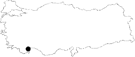
| Location: This site lies approximately 24 km southwest of the city of Antalya; 7-8 km north-northwest of the village of Beldibi (For a more detailed site location description; see Harmankaya-Tanindi 1996: Belbasi) |
| Structural Properties and formation : The name of the rock shelter formed on calcareous rocks was probably given depending on the name of the nearest location by E.Y. Bostanci. |
| Research History: The front right part of the rock shelter which was found by E.Y. Bostanci in 1959 was excavated in 1960 under supervision of the same researcher. The excavation area has a dimension of 3.8x2.4 m. By this trench; which was opened in almost middle part of the shelter; only to a depth of 160 cm could have been descended. |
| Findings: Three layers were revealed during the excavation conducted by Bostanci: Layer 1: it has a dark colored; decomposed and soft soil and it composes a mixture of potsherds dating to the Modern; Roman; Greek and Neolithic Ages. Most probably; communities of above ages which were hunting at the Karincali and Saricinar mountains used this rock shelter as settlement for short periods from time to time. The layers II and III were dated to the Epipalaeolithic Age by Bostanci based on the findings of the Palaeolithic industry. |