|
|
||||
|
|
||||
|
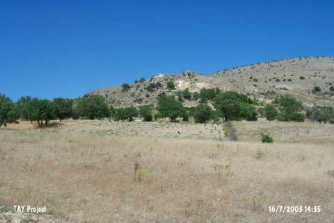
Yikilgan Siginagi |
||||
|
For cave maps and drawings please click on the picture... |
For photographs please click on the photo... |
|||
|
 |
|||
|
Type: |
Rock Shelter | |||
|
Altitude: |
980 m | |||
|
Depth: |
m | |||
|
Length: |
m | |||
|
Region: |
Eastern Anatolia | |||
|
Province: |
Elazig | |||
|
District: |
Agin | |||
|
Village: |
Yenipayam | |||
|
|
||||
 |
||||

| It is located to the east of the Arapkir Brook; near northeast of the Yenipayam (Hastek) Village; 5 km west of the Agin District; northwest of the Elazig provincial center. It lies 500 m south of Gedikler Mevkii. The rock shelter is pretty big. The front bench was closed by small rock blocks. It is suitable for inhabiting as its mouth is closed to the northerly winds. The overall size is not known. |
| Location: This rock-shelter site is located northwest of the city of Elazig; east of the Arapkir Stream; northeast of the village of Yenipayam (also called Hastek); and 5 km west of the town of Agin. It locates 500 m south of Gedikler Mevkii. |
| Structural Properties and formation : |
| Research History: |
| Findings: |