|
|
||||
|
|
||||
|
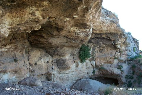
Sarkli Magara |
||||
|
For cave maps and drawings please click on the picture... |
For photographs please click on the photo... |
|||
|
 |
|||
|
Type: |
Cave | |||
|
Altitude: |
890 m | |||
|
Depth: |
m | |||
|
Length: |
m | |||
|
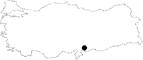
Region: |
Southeastern Anatolia | |||
|
Province: |
Gaziantep | |||
|
District: |
Merkez | |||
|
Village: |
Dülük | |||
|
|
||||
 |
||||
| Location: This cave site lies 10 km north of the city of Gaziantep; in the valley at the foot of Keber Tepe; near the Dülük train station (See the site of Dülük for more information on open air sites in the area). |
| Structural Properties and formation : It was formed within the Helvetian limestones. It is somewhat a big cave with 84 m in width; 17 m in length and 13 m in height. It is claimed that the abundance of mussel shells found during the excavation shows the presence of a small lake around the cave during the Epipalaeolithic Epoch. |
| Research History: It was found by E. Y. Bostanci in 1971; and archaeological excavations were conducted in 1971 and 1982. |
| Findings: During the 1982 excavation; the 9 m deep trench section revealed that the 7.14 m thick part was dating to the Bronze Age while between 7.14 m and 9 m to the Neolithic; Epipalaeolithic and Upper Palaeolithic Ages. |