|
|
||||
|
|
||||
|
Killigin Magarasi |
||||
|
For cave maps and drawings please click on the picture... |
For photographs please click on the photo... |
|||
|
 |
|||
|
Type: |
Cave | |||
|
Altitude: |
2000 m | |||
|
Depth: |
m | |||
|
Length: |
m | |||
|
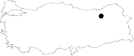
Region: |
Black Sea | |||
|
Province: |
Bayburt | |||
|
District: |
Merkez | |||
|
Village: |
Erenli | |||
|
|
||||
 |
||||
| Location: This cave-site is 3.5 km; as the crow flies; from the city of Bayburt; 2.1 km northeast of the village of Erenli (Duduzar). |
| Structural Properties and formation : It is located to the southwest of a ridge called Killigin Sirti; of which the highest point being 1191 m elevated from the sea level. With a massif-like appearance; the ridge has been eroded by rain waters. Developed as a result of aquatic formation within the calcareous rocks; the mouth faces south. It seems that it is not very big; located in a mountainous region. The inner section is 8 m deep; and 4 m high; the entrance is 1.5 m; and the opening of mouth is 6 m at the bottom level. |
| Research History: It was coincidentally found by a geology team of the Karadeniz Technical University during geological surveys conducted in the Black Sea region. |
| Findings: It has been reported that microliths made of basalt were found in the entrance; and some worked stones from basalt; although rare; on the slope. |