|
|
||||
|
|
||||
|
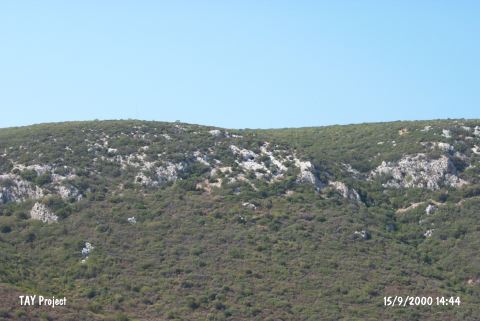
Inkaya Magarasi |
||||
|
For cave maps and drawings please click on the picture... |
For photographs please click on the photo... |
|||
|
 |
|||
|
Type: |
Cave | |||
|
Altitude: |
m | |||
|
Depth: |
-34 m | |||
|
Length: |
188 m | |||
|
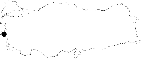
Region: |
Aegean | |||
|
Province: |
Izmir | |||
|
District: |
Güzelbahçe | |||
|
Village: |
Yelki | |||
|
|
||||
 |
||||
| Location: It is located on Kocada within the boundaries of the Yelki Village of Urla. |
| Structural Properties and formation : The narrow entrance facing the east immediately leads into a large hall. Poor in decorations; it was used as an animal shelter in recent times. It consists of rooms and branches around the main hall. It was developed along with a few intercrossing fractures within the Cretaceous limestones |
| Research History: It was discovered by H. Erkanal in 1993. It was explored by MAD in August 1994; and then mapped to the BCRA 3c standard. |
| Findings: It was used as a ritual site from 3000 BC until the Roman Period without interruption. There are niches; particularly on the right wall of the main hall and several parts of the cave. Plenty of votive cups were uncovered in the left room while human skeletons were found in the right branch. This 88 m long cave ends up with a room after a 8 m descent. A very large colony of bats inhabit the cave. Also; many white and gray colored mice were seen. |