|
|
||||
|
|
||||
|
Ikizin Magarasi |
||||
|
For cave maps and drawings please click on the picture... |
For photographs please click on the photo... |
|||
|
 |
|||
|
Type: |
Cave | |||
|
Altitude: |
m | |||
|
Depth: |
m | |||
|
Length: |
m | |||
|
Region: |
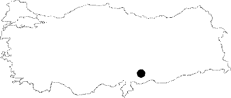
Mediterranean | |||
|
Province: |
Kahramanmaras | |||
|
District: |
Pazarcik | |||
|
Village: |
Merkez | |||
|
|
||||
 |
||||
| Location: This site is in one of the natural limestone caves positioned on the cliffs of the Ardil Strait facing the stream. The strait is southeast of the town of Pazarcik in the Kahramanmaras Province. There are many caves in this region; as shown in a 1:100;000 map; but it is impossible to determine which one is Ikizin Magarasi. See Gani Dagi Yöresi for the schematic map of the sites between the villages of Saril and Ardil. |
| Structural Properties and formation : Originating from the Araban region; it flows toward east-west; irrigating the Araban Plain; and then running toward southwest after the Ardil Strait to cease to exist in a swamp. The south and north of the plain is highland. Surface activity is higher towards the strait. Kökten does not provide any information about the dimensions and other characteristics of the Ikizin Cave. It is understood from his article that it is not a big cave as he reported that they excavated a shelter called Ikizin. |
| Research History: An excavation was carried out in 1960 or 1961 by K. Kökten. |
| Findings: Kökten reports the presence of flake tools dating to the Middle and Upper Palaeolithic Age in the trench he opened near the entrance. |