|
|
||||
|
|
||||
|
Asagiçerçi |
||||
|
For cave maps and drawings please click on the picture... |
For photographs please click on the photo... |
|||
|
 |
|||
|
Type: |
Cave | |||
|
Altitude: |
510 m | |||
|
Depth: |
-72 m | |||
|
Length: |
121 m | |||
|
Region: |
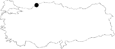
Black Sea | |||
|
Province: |
Bartin | |||
|
District: |
Ulus | |||
|
Village: |
Asagiçerçi | |||
|
|
||||
 |
||||
| The cave is situated on a hill behind a private trout raising pond in the Asagiçerçi Village, which is inside the Küre National Parc at Ulus District of Bartin Province. It was researched by Tulga Sener and Tunc Torosdagli. The cave is a formation inside the limestone rock. It starts with a narrow fragment at 510 m height, the first 30 m is a steep climb, then comes a declination, and short descents follow before it ends at a small hall. The water that comes from one end of this hall makes a syphon and leaves the cave. Small white rats and 3-4 cm long bugs which have hard shells were observed inside the last section where declined descents start. |
| Location: |
| Structural Properties and formation : |
| Research History: |
| Findings: |