|
|
||||
|
|
||||
|
Yelini |
||||
|
For cave maps and drawings please click on the picture... |
For photographs please click on the photo... |
|||
|
 |
|||
|
Type: |
Horizontal Cave | |||
|
Altitude: |
1105 m | |||
|
Depth: |
-26 m | |||
|
Length: |
271 m | |||
|
Region: |
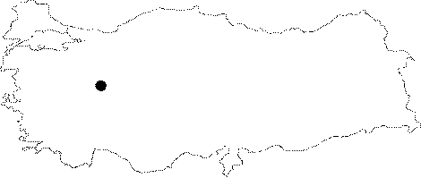
Central Anatolia | |||
|
Province: |
Eskisehir | |||
|
District: |
Günyüzü | |||
|
Village: |
Kayakent Beldesi | |||
|
|
||||
 |
||||
| Location: It lies to the southeast of the Sivrihisar Mountains; in parallel to the Sakarya River on the Sivrihisar-Günyüzü road. It can be reached from the Ankara-Eskisehir or Ankara-Polatli-Yunak motorways. It lies to the south of the Yelinüstü Cave. It is also called Yilanli. |
| Structural Properties and formation : Divided into many halls and rooms by dripstones and big blocks collapsed from the roof; it is adorned with magnificent speleothems. Generally the temperature decreases through the end whereas the humidity increases. The temperature and humidity are 25.5 degrees and 45% respectively in the entrance; and 16.1 degrees and 79.5 % respectively in the final hall. It is a fossil cave located in the vadose zone; which halted its development. It is entirely dry except the waters dripping from the roof during rainy seasons. |
| Research History: It was explored by MTA; and its map and other characteristics were published in 2001. |
| Findings: Having similar characteristics with the Yelinüstü Cave; there are figures and remains indicating that it had been inhabited for longer periods. Flintstones; flakes; axes and spearheads were uncovered in front of the cave as well as slopes and fields in the vicinity. Various tools; bones and potsherds were recovered from the soil in the entrance. In the hall; there are brick-made pools not deeper than 2 m; and cisterns and red inscriptions on the ceiling. Bats inhabit the halls and side alcoves hardly accessible by men. There is huge deposits of guano; particularly in sections following the fossil hall with pool and the hall at the end. |