|
|
||||
|
|
||||
|
Yagcilar |
||||
|
For cave maps and drawings please click on the picture... |
For photographs please click on the photo... |
|||
|
 |
|||
|
Type: |
Cave | |||
|
Altitude: |
680 m | |||
|
Depth: |
+23 m | |||
|
Length: |
151 m | |||
|
Region: |
Black Sea | |||
|
Province: |
Düzce | |||
|
District: |
Yigilca | |||
|
Village: |
Yagcilar | |||
|
|
||||
 |
||||
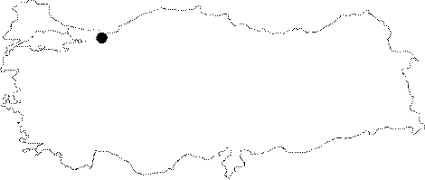
| Location: It is located on the right bank of Alangölü stream which empties in the Melen brook; 4 km south of Yagcilar village; which is 3 km south from the Yigilca district which is situated 33 km northeast of Düzce. |
| Structural Properties and formation : It is a spring type active cave developed 2 m above the river bed on the right wing of Alangölü stream which is a branch of Tekeagili stream that empties into the Melen brook. The cave expands horizontally in south-north direction; and its entrance altitude is 680 m. It contains a visible subsurface stream; and many lakes and waterfalls formed by this stream; and it consists of a single gallery. It is 1-6 m wide; and the ceiling height is 0.5-8 m. The presence of some sand; and pebble pile-ups was observed. The cave is covered with bacon rinds; stalactites; stalagmites; and dripstone ponds. The dripstone ponds were more frequently observed towards the end sections of the cave. Those ponds created small waterfalls. |
| Research History: It was researched by the Geological Studies Department Presidency of the MTA General Directorate and published in 2002. |
| Findings: |