|
|
||||
|
|
||||
|
Tepesidelik |
||||
|
For cave maps and drawings please click on the picture... |
For photographs please click on the photo... |
|||
|
 |
|||
|
Type: |
Cave | |||
|
Altitude: |
1824 m | |||
|
Depth: |
-57 m | |||
|
Length: |
150 m | |||
|
Region: |
Black Sea | |||
|
Province: |
Giresun | |||
|
District: |
Alucra | |||
|
Village: |
Çakmak | |||
|
|
||||
 |
||||
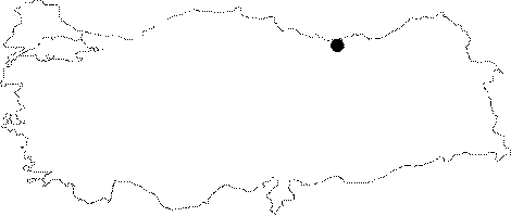
| Tepesidelik Cave is located on the Tepesidelik Hill 5 km southeast of Çakmak Village which is 12 km east of Alucra District. It was formed inside the Jurassic-Lower Cretaceous limestones in the fluvio-karstic uvala. The primary section is in the form of a depression and there is a 15 m deep pond in the bottom of the doline. The cave was composed through the collapse of the ceiling due to the space formed by the underground spring. It was surveyed and mapped by MTA in 2003. There are no animal groups inside the cave [Nazik-Törk 2003]. |
| Location: |
| Structural Properties and formation : |
| Research History: |
| Findings: |