|
|
||||
|
|
||||
|
Sütlük Subatani |
||||
|
For cave maps and drawings please click on the picture... |
For photographs please click on the photo... |
|||
|
 |
|||
|
Type: |
Vertical Cave | |||
|
Altitude: |
1850 m | |||
|
Depth: |
-640 m | |||
|
Length: |
1317 m | |||
|
Region: |
Mediterranean | |||
|
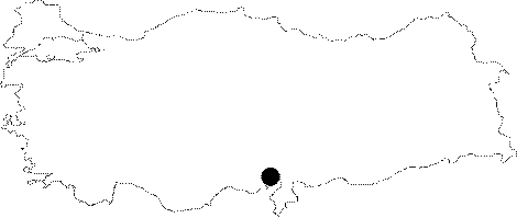
Province: |
Adana | |||
|
District: |
Pozanti | |||
|
Village: |
Dagdibi | |||
|
|
||||
 |
||||
| Location: It is located on the Mazmili Plateau of the Aladag Mountains. The Mazmili Plateau is the general name for the area standing between Karanfil Mountain; Yelatan Plateau; Sarimsak Mountain and Dagdibi Village. It has been surfacing in the shape of a tectonic window within the Liassic aged dolomites and ophiolitic crust units in an area with an average height of 1750 m. |
| Structural Properties and formation : It drops into a 75 m descent. It continues with several descents; the longest one being 23 m; and numerous whirlpools until -225 m is reached. It is followed by another descent of 59 m which leads into the temporary camp site. Whirlpools are common in most of the descents. The cave becomes horizontal after reaching to -500 m. The horizontal section is followed by descents again; and the latest point descended is 30 m. From that point; the cave enlarges and extends farther. |
| Research History: The first explorations in the sinkhole go back to 1989. It was explored by MAD in 1993 and 1995; and mapped to the BCRA 3c standard. |
| Findings: |