|
|
||||
|
|
||||
|
Sofular |
||||
|
For cave maps and drawings please click on the picture... |
For photographs please click on the photo... |
|||
|
 |
|||
|
Type: |
Horizontal Cave | |||
|
Altitude: |
442 m | |||
|
Depth: |
-80 m | |||
|
Length: |
490 m | |||
|
Region: |
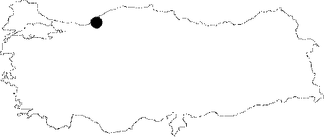
Black Sea | |||
|
Province: |
Zonguldak | |||
|
District: |
Merkez | |||
|
Village: |
Sofular | |||
|
|
||||
 |
||||
| Location: The road deviating from the Sapca Village on the Zonguldak-Ankara motorway to Güdüllüköy leads near to the cave. The cave is reached after a 15 minute walk through a pathway from the point where this road ends. |
| Structural Properties and formation : It consists of three interconnected levels. The fossil level elongating in the west-east direction is an underground part of the Pliocene relief system. Depending on the easterly superficial drainage during Pliocene; the first section of the cave was formed below. The cave was lowered to the second level due to sinking into the channel of the Sofular Creek during the end of Pliocene Epoch. As sinking progressed; it resulted in the formation of the Dazdasi Sinkhole; Cayirköy Cave and the lower level of Sofular. |
| Research History: It was explored by MAD in 1990; and mapped to the BCRA 3b standard as 325 m long and -84 m deep [Kaufmann 1993:26]. Later; being explored by MTA; it was reported to be 490 m long. It takes place in the registered archaeological sites list prepared by Ministry of Culture and Tourism. |
| Findings: Bats inhabit mainly the final zone of the fossil level. Also found are white coloured guanobia living in the guano; excreta of bats. In the entrance zone; milipedes and flatworms (Platyhelminthes) were seen [Nazik et al. 1995:37]. 80 m further from the entrance; bones; probably of human beings; were found. Further investigation is recommended [Laumanns-Ozbek 1988:112]. |