|
|
||||
|
|
||||
|
Nurkadin Bogazi |
||||
|
For cave maps and drawings please click on the picture... |
For photographs please click on the photo... |
|||
|
 |
|||
|
Type: |
Horizontal Cave | |||
|
Altitude: |
m | |||
|
Depth: |
-26 m | |||
|
Length: |
179 m | |||
|
Region: |
Aegean | |||
|
Province: |
Manisa | |||
|
District: |
Merkez | |||
|
Village: |
Ayvacik | |||
|
|
||||
 |
||||
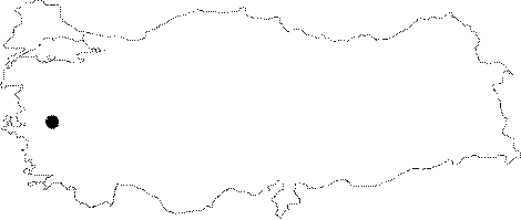
| Location: It lies on the eastern part of the Spil Mountain near the Ayvacik Village. |
| Structural Properties and formation : It was formed within the crystallized limestones of the Spil Mountain. The region bears the traces of corrosion from the Miocene (Neogene) epoch. It consists of two sections. The first descent starts with an incline of 42 degrees; and then horizontally elongating main branch is reached following a descent of 3.5 m by SRT. Probably functioning like a ponor in previous periods; it was 100 m uplifted over the watertable as a result of eroding by the underlying stream and tectonic movements; and subsequently lost its ponor characteristics. |
| Research History: It was explored the Cave Research Club of the Dokuz Eylül University in 1997-1998. |
| Findings: |