|
|
||||
|
|
||||
|
Kurumese |
||||
|
For cave maps and drawings please click on the picture... |
For photographs please click on the photo... |
|||
|
 |
|||
|
Type: |
Cave | |||
|
Altitude: |
111 m | |||
|
Depth: |
-0.5 m | |||
|
Length: |
107 m | |||
|
Region: |
Marmara | |||
|
Province: |
Sakarya | |||
|
District: |
Karasu | |||
|
Village: |
Kurumese | |||
|
|
||||
 |
||||
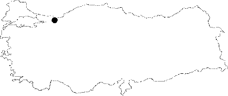
| Location: It is located in an uvala basin inside a paleo valley in east-west direction where the Sinanoglu-Kurumese-Subatagi villages are located at; just east of the connection channel of the Sakarya River; that connects Adapazari Lowland with the delta at the Black Sea shore. It is 25 km north from Adapazari. |
| Structural Properties and formation : Kurumese Cave is a horizontally in east-west direction developed spring type cave. The direction of the limestone layers played a role in the development of the cave as well as the crack system. Therefore sharp elbows; cavities and profiles are observed in the extension of the cave. There is a subsurface stream in the Kurumese that flows uninterruptedly; where the height is between 2-6 m; and the width between 0.5-4 m. Sand and pebble pile-up is observed on the cave basin especially at the elbows where there are sharp turns. On the other hand there are no dripstone formations except the few stalactites; and the stalacmites. |
| Research History: It was researched by the Geological Studies Department of MTA General Directorate; and published in 2002. |
| Findings: |