|
|
||||
|
|
||||
|
Kurul / Antik Maden Galerisi |
||||
|
For cave maps and drawings please click on the picture... |
For photographs please click on the photo... |
|||
|
 |
|||
|
Type: |
Cave | |||
|
Altitude: |
562 m | |||
|
Depth: |
-92 m | |||
|
Length: |
175 m | |||
|
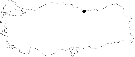
Region: |
Black Sea | |||
|
Province: |
Ordu | |||
|
District: |
Merkez | |||
|
Village: |
Bayadi | |||
|
|
||||
 |
||||
| Location: It is located on the eastern side of Kurulkayasi Tepe (571 m) that elevates with a steep slope on the edge of Melet River; approximately 10 km southeast of Ordu. |
| Structural Properties and formation : It is an artificial cave made for copper or lead mining during the ancient period. The gallery which is 2.5 m high and 5 m wide; expands at a 45 degree angle. The last spot in the gallery at -92 m consists of a high ceiling section. |
| Research History: It was researched by the Karst and Caves Unit of the Geological Studies Department of MTA General Directorate; and published in 2004. |
| Findings: |