|
|
||||
|
|
||||
|
Kurudere |
||||
|
For cave maps and drawings please click on the picture... |
For photographs please click on the photo... |
|||
|
 |
|||
|
Type: |
Cave | |||
|
Altitude: |
604 m | |||
|
Depth: |
-3 m | |||
|
Length: |
10 m | |||
|
Region: |
Black Sea | |||
|
Province: |
Ordu | |||
|
District: |
Kumru | |||
|
Village: |
Eskiergen | |||
|
|
||||
 |
||||
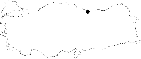
| Location: It is located 3 km SE from Patlaksu Cave; on the upper eastern slope of Kizildere 1.5 km east from Eskiergen Village; 10 km north of Kumru District in Ordu. |
| Structural Properties and formation : Kurudere Cave is at the upper eastern slope of Kizildere. There is a 190 m difference in height between the mouth of the cave (604 m) and the stream basin. It is a horizontally developed sinkhole type; small cave. Its basin is filled with sand; pebbles; and debris. It is 2-8 m wide; and 1-5 m high. There are often dripstone formations on its walls. |
| Research History: It was researched by the Karst and Caves Unit of the Geological Studies Department of MTA General Directorate; and published in 2004. |
| Findings: |