|
|
||||
|
|
||||
|
Köprübasi |
||||
|
For cave maps and drawings please click on the picture... |
For photographs please click on the photo... |
|||
|
 |
|||
|
Type: |
Horizontal Cave | |||
|
Altitude: |
1050 m | |||
|
Depth: |
+17;-5 m | |||
|
Length: |
249 m | |||
|
Region: |
Black Sea | |||
|
Province: |
Gümüshane | |||
|
District: |
Merkez | |||
|
Village: |
Mescitli | |||
|
|
||||
 |
||||
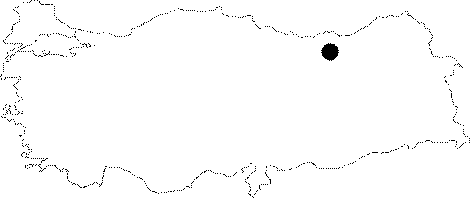
| It is located in the Mecitli Village of Gümüshane. It lies next to the bridge over the Harsit Brook; 600 m north of Mecitli. It was developed within the very fractured and jointed Malm-Lower Cretaceous limestones. The fractured structure resulted in furcation. It is very close to the bed of the Harsit Brook; and there is no dripstone decoration. It is dry throughout the year. It was explored and mapped by MTA in 1991. The large hall in the entrance is inhabited by bats. |
| Location: |
| Structural Properties and formation : |
| Research History: |
| Findings: |