|
|
||||
|
|
||||
|
Kocakuyu |
||||
|
For cave maps and drawings please click on the picture... |
For photographs please click on the photo... |
|||
|
 |
|||
|
Type: |
Horizontal Cave | |||
|
Altitude: |
204 m | |||
|
Depth: |
-34 m | |||
|
Length: |
1010 m | |||
|
Region: |
Marmara | |||
|
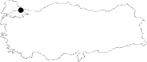
Province: |
Istanbul | |||
|
District: |
Çatalca | |||
|
Village: |
Pinarca | |||
|
|
||||
 |
||||
| Location: It is close to the pole of electricity network inside a bushy area at the edge of a wide flatness on the left side at 3rd km of the road running from the village of Pinarca to Gümüspinar. |
| Structural Properties and formation : The entrance is approximately 3-5 m wide; dropping into a steep descent. The floor is covered by collapsed rocks; leading into the bottom of the first gallery with a 25-30 m incline. Then; a low argillaceous gallery is reached through this descent; and here there is an unpassed siphon. Before that siphon; on the right a 50 m long very narrow passage full of muddy water up to the chasm is passed; leading into wide galleries. On the left; there is a second gallery with similar characteristics. At the end of this gallery; a hardly noticeable chasm leads into a third hall; which has wonderful decorations on the ceiling; and chimneys become occluded after a while. The survey revealed that curtain decorations at the end of the cave prevented advancing farther. It is very rich in decorations; curtains; stalactites and columns have a rare beauty. |
| Research History: It was explored and mapped by BUMAK in 1990. It was also explored in 1999 during the Eurasian Bridge '99 Project. |
| Findings: Large colonies of bats inhabit the second gallery and there is abundant guano on the floor. Most common species are M. schreibersii and M. myotis/blythii; also found are R. hipposideros and R. ferrumequinum. |