|
|
||||
|
|
||||
|
Koca |
||||
|
For cave maps and drawings please click on the picture... |
For photographs please click on the photo... |
|||
|
 |
|||
|
Type: |
Horizontal Cave | |||
|
Altitude: |
170 m | |||
|
Depth: |
-2;+8.5 m | |||
|
Length: |
47 m | |||
|
Region: |
Marmara | |||
|
Province: |
Tekirdag | |||
|
District: |
Saray | |||
|
Village: |
Kavacik | |||
|
|
||||
 |
||||
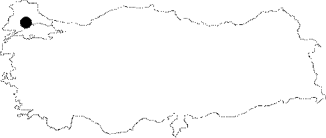
| Location: It lies on the right bank of the Ergene Creek. The cave; which is located right above the former Kavacik mills; can be reached from the Kavacik Village at 5th km of the Saray-Vize road by a 15-minute walk. To 1500 m southwest lie the Horatas and Kücük Kalasli Caves. |
| Structural Properties and formation : The vicinity of the Koca Cave consists of the Paleozoic milotonic gneisses underlying the Eocene aged Kirklareli limestones; Oligocene arenaceous-argillaceous-chalky limestones and Plio-Quarternary sand and pebble deposits. It has two entrances; which have an altitude difference of 8.5 m It is dry in all seasons as it halted its development. |
| Research History: It was explored and mapped by MTA. |
| Findings: Occasionally cave flies were seen. |