|
|
||||
|
|
||||
|
Kizilelma |
||||
|
For cave maps and drawings please click on the picture... |
For photographs please click on the photo... |
|||
|
 |
|||
|
Type: |
Horizontal Cave | |||
|
Altitude: |
1545 m | |||
|
Depth: |
-114 m | |||
|
Length: |
6630 m | |||
|
Region: |
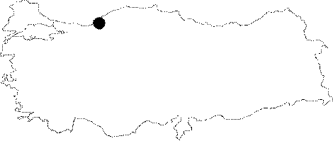
Black Sea | |||
|
Province: |
Zonguldak | |||
|
District: |
Merkez | |||
|
Village: |
Ayiçi | |||
|
|
||||
 |
||||
| Location: It is located at the Kizil Elma quarter of the Ayici Village at the Gelik region of Zonguldak. The first road deviating to left before arriving to the quarter of Gelik from Kilim runs 300 m near the cave after 2-3 km. It is accessible from two entrances. One is a fossil entrance next to the point where the Ayici Creek submerges; and the other one is a 85 m deep fossil sinkhole called "Cingilli Kuyu"; connecting to approximately 3rd km of the main gallery. |
| Structural Properties and formation : Supplied by waters from many closed basins; it is adorned with every kind of decorations. Stalactites; stalagmites and curtain dripstones have bigger dimensions. However; dripstone formations are little or none at places where there is too much underground water erosion as well as young depression areas. One important issue to be careful about is the sudden flood. The waters of the Aydin Creek and the Büyük Ay Creek submerge through the entrance of the active sinkhole. The cave can be accessed from the upper 30x20 m fossil entrance; and 100 m later there appears water. The cave elongates horizontally along with the water. After 100 m; the next 400 m can only be passed by crawling. At the end; there is a 10 m siphon; which can be passed through only during fall. The gallery after the siphon is very large. Basically continuing as a single active gallery; there is a 80 m high chimney big enough to illuminate the lake at the bottom at 3200 m. The cave elongating 3 km more with lakes; ends up with a second siphon. The dye tracing revealed that the sinking water resurges at the Cumayani Cave after 2 km. Therefore; the overall length of the Kizilelma-Cumayani underground system reaches up to 10 km [Güngör-Gülez 1992:33]. |
| Research History: It was first explored by T. Aygen in 1975. The most comprehensive survey of the cave was conducted by a crowded exploration group from the Nottingham Trent Polytechnic University; United Kingdom in 1978. It takes place in the registered archaeological sites list prepared by Ministry of Culture and Tourism. |
| Findings: Bats inhabit the fossil section near the entrance zone; but they are very few in number. Also; millipedes and black-coloured molluscs were seen at the same region. The most interesting form of life is the red-coloured butterflies. |