|
|
||||
|
|
||||
|
Kirkin |
||||
|
For cave maps and drawings please click on the picture... |
For photographs please click on the photo... |
|||
|
 |
|||
|
Type: |
Cave | |||
|
Altitude: |
805 m | |||
|
Depth: |
+13 m | |||
|
Length: |
80 m | |||
|
Region: |
Black Sea | |||
|
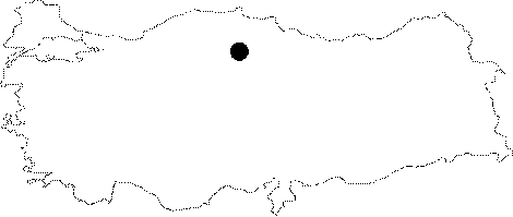
Province: |
Çorum | |||
|
District: |
Ortaköy | |||
|
Village: |
Asdagul | |||
|
|
||||
 |
||||
| The cave is situated on the southwest slope of Ininbasi Hill approximately 5 km north of Asdagul Sub-District. Kirkin was formed inside the Upper Jurassic-Cretaceous limestones. This structure on the other hand was surrounded by Eocene Age cobble stones and sand stones and partially Cretaceous Age Ophiolitic mixture. The region was cracked deeply through Çekerek River and contains canyon valleys similar to canyons. The cave was surveyed and mapped by MTA in 2004. There is a large population of bats inside the cave [Nazik-Törk 2004]. |
| Location: |
| Structural Properties and formation : |
| Research History: |
| Findings: |