|
|
||||
|
|
||||
|
Kiliçtepe Düdeni |
||||
|
For cave maps and drawings please click on the picture... |
For photographs please click on the photo... |
|||
|
 |
|||
|
Type: |
Vertical Cave | |||
|
Altitude: |
330 m | |||
|
Depth: |
-49 m | |||
|
Length: |
89 m | |||
|
Region: |
Black Sea | |||
|
Province: |
Zonguldak | |||
|
District: |
Kozlu | |||
|
Village: |
||||
|
|
||||
 |
||||
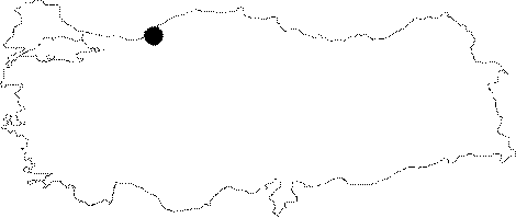
| Location: It is situated at 330 m between Kilictepe and Orentepe in the Kozlu District of Zonguldak. |
| Structural Properties and formation : Dropping into 2; 6 and 14 m descents; its overall length is 89 m. As it ends up with a depression; it is not possible to go deeper. The area is a contact zone of the Devonian karstic dolomitic limestones and the Cretaceous flysch. The runoff surfacially flowing on the flysch during rainy periods turns into groundwater flow near the entrance of the sinkhole (10 m). However; no activity was observed in the sinkhole in regard to this water. |
| Research History: It was explored by MAD in 1995; and mapped to the BCRA 3c standard |
| Findings: |