|
|
||||
|
|
||||
|
Karain |
||||
|
For cave maps and drawings please click on the picture... |
For photographs please click on the photo... |
|||
|
 |
|||
|
Type: |
Cave | |||
|
Altitude: |
1008 m | |||
|
Depth: |
-0.5 m | |||
|
Length: |
41 m | |||
|
Region: |
Marmara | |||
|
Province: |
Sakarya | |||
|
District: |
Pamukova | |||
|
Village: |
Eskiyayla | |||
|
|
||||
 |
||||
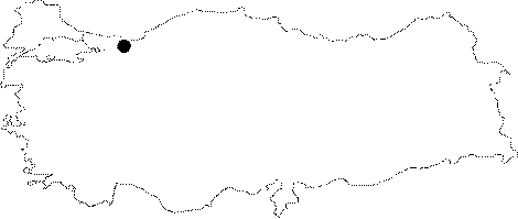
| Location: It was developed on the eastern slope of the Yörük hill where Karain stream started; which empties in the Sakarya river; after passing through Pamukova; 6 km north in a straight line from Pamukova. It is on the slopes of Samanli mountains which overlook Geyve-Pamukova catchment area. |
| Structural Properties and formation : The immediate environs of the cave consist of plateau type high plains. It developed in east-west direction; has a width of 2- 5 m; and a ceiling height of 0.5-3.5 m. There is a thick layer of culture soil; and dissolution in the basin. Karain is a fossil cave that completed its development. There are almost no dripstone deposits inside the cave. |
| Research History: It was researched by the Geological Studies Department Presidency and published in 2002. |
| Findings: |