|
|
||||
|
|
||||
|
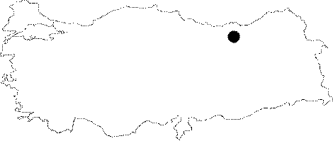
Karaca |
||||
|
For cave maps and drawings please click on the picture... |
For photographs please click on the photo... |
|||
|
 |
|||
|
Type: |
Horizontal Cave | |||
|
Altitude: |
1550 m | |||
|
Depth: |
-15.5 m | |||
|
Length: |
256 m | |||
|
Region: |
Black Sea | |||
|
Province: |
Gümüshane | |||
|
District: |
Torul | |||
|
Village: |
Cebeli | |||
|
|
||||
 |
||||
| Location: It lies at the Kirantas Mevkii near the Karaca Quarter of the Cebeli Village. It can be reached from the road deviating to the Korum Creek Valley at 12th km of the Gümüshane-Trabzon motorway. A road leads to the entrance of the cave. It is a show cave. |
| Structural Properties and formation : It is a spring type of fossil cave which was developed horizontally. It has been opened as a show cave. An entrance gate and two air shafts were made on both sides in order to keep the humidity rate constant. The cave can be toured walking on wooden platforms. As the platform returns are adjusted according to the formations; no harm was given to them. The big hall houses decorations of small travertine pools; stalactites and draperies. |
| Research History: It was explored and mapped by MTA in 1990. Later on; it was also explored by MAD in 1995. It takes place in the registered archaeological sites list prepared by Ministry of Culture and Tourism. |
| Findings: |