|
|
||||
|
|
||||
|
Inhisar |
||||
|
For cave maps and drawings please click on the picture... |
For photographs please click on the photo... |
|||
|
 |
|||
|
Type: |
Horizontal Cave | |||
|
Altitude: |
350 m | |||
|
Depth: |
+42 m | |||
|
Length: |
180 m | |||
|
Region: |
Marmara | |||
|
Province: |
Bilecik | |||
|
District: |
Inhisar | |||
|
Village: |
Merkez | |||
|
|
||||
 |
||||
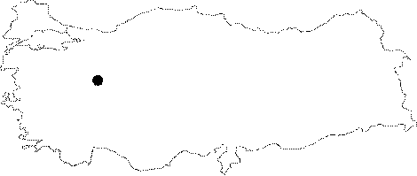
| Location: It is located on the northern slope of the Inkaya Hill (515 m) facing Sakarya River; to the immediate south of the Inhisar District; northwest of Eskisehir. It can be reached from the Bilecik-Sögüt-Inhisar-Saricakaya or Eskisehir-Sögüt-Inhisar and Eskisehir-Sarikaya-Mihalgazi-Inhisar motorways. A road leads near to the cave |
| Structural Properties and formation : It was formed within the Upper Jura Lower Cretaceous aged Bilecik limestones; which is important in improving the solution with its fracture-rich structures; suitable for karstification and cave development. However; insoluble metamorphites underlying the limestones and comprising the karstic bottom level inhibited the cave to grow deeper. It consists of a single gallery with a roof height of 3 to 20 m and width of 4 to 25 m. The bottom is covered by soil; pebbles; debris and big blocks. Located in a vadose zone; it is a fossil cave which halted its development. The Inhisaralti Cave; which is situated 8-10 below looks like a extension of it. Depending on the lowering of the Sakarya River; the underground water in the cave was also lowered; resulting in the formation of a second cave. It is poor in decorations. |
| Research History: It was explored by MTA; and its map and other characteristics were published in 2001. |
| Findings: An intense bat population inhabit the cave which is comprised by a very large gallery. The colonies of bats live almost everywhere in the cave. |