|
|
||||
|
|
||||
|
Inagzi |
||||
|
For cave maps and drawings please click on the picture... |
For photographs please click on the photo... |
|||
|
 |
|||
|
Type: |
Horizontal Cave | |||
|
Altitude: |
26 m | |||
|
Depth: |
+1 m | |||
|
Length: |
793 m | |||
|
Region: |
Black Sea | |||
|
Province: |
Zonguldak | |||
|
District: |
Merkez | |||
|
Village: |
||||
|
|
||||
 |
||||
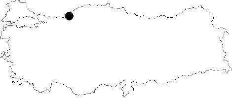
| Location: It is located in the city centrum of Zonguldak. It lies on the sea shore at 15th km of the Kilimli road. The entrance is right above the railway. |
| Structural Properties and formation : Formed within the Aptian aged Kapuz Formation; which had lithostratigraphic features suitable for karstification or cave development in the Zonguldak region; it is an important form of the Pliocene relief system. The entrance of the cave; which is totally 793 m; is through a fossil mouth facing the sea. Followed by a hole where only one person can fit into after the 50th m; it continues with an underground creek intermittently. There is a siphon at 400 m; which can be passed by walking at low tide. From that point; it continues for another 393 m; ending up with a siphon. |
| Research History: It was explored by MTA; and it was re-explored and mapped by MAD in 1982. It takes place in the registered archaeological sites list prepared by Ministry of Culture and Tourism. |
| Findings: Cave grasshopper; cave fly and milipedes were found in the entrance zone. A few bats were seen in the fossil level. Reports indicate that it had been inhabited in prehistoric times. |